
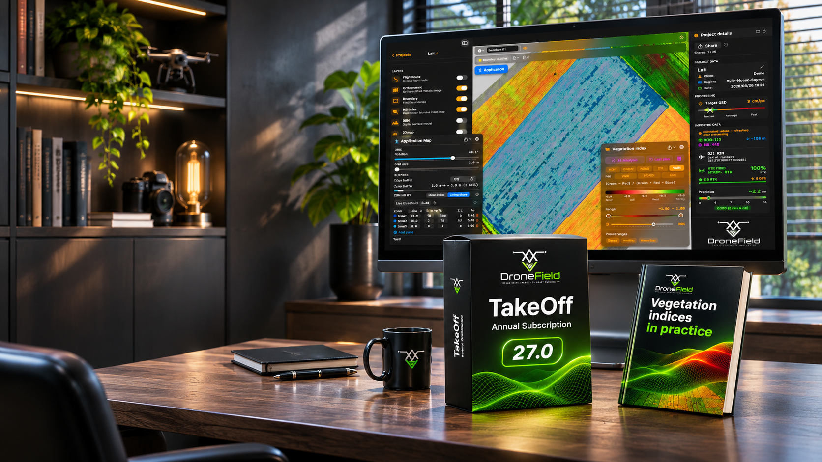
We don't just give you software. We give you the knowledge to turn maps into decisions.
A vegetation index map only pays off when you know what to do with it.
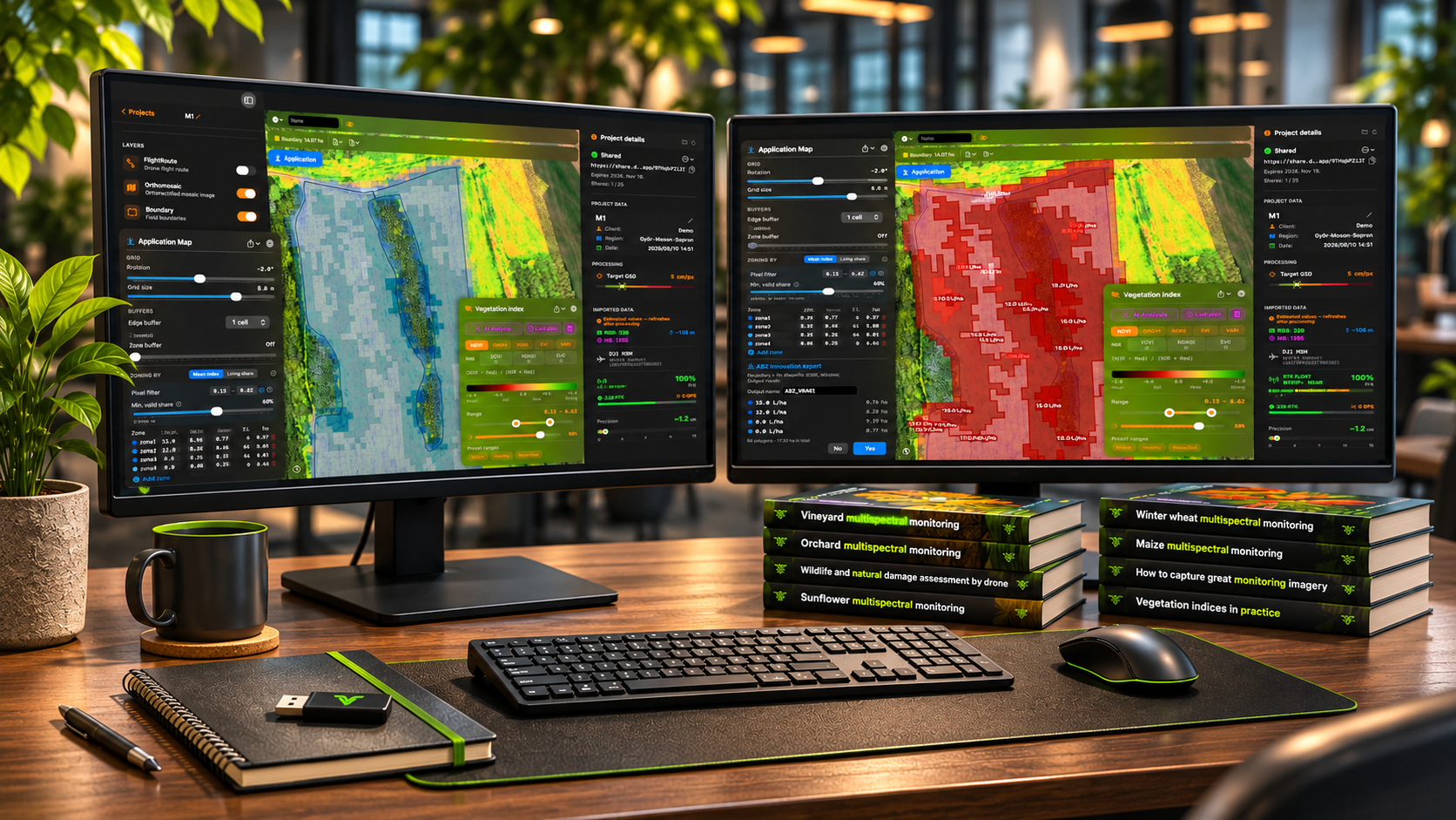
That is why DroneField comes with a growing library of professional handbooks: how to capture good monitoring imagery, which vegetation index to use and when, how to read the map for maize, winter wheat, sunflower, soybean, orchards and vineyards, and how to document wildlife and weather damage. Written by practitioners, for practitioners — with checklists you can take to the field.
10 handbooks · 9 languages · tutorial videos · continuously updated
Free after registration. Eight more handbooks are included in the subscription.
Start reading now: free articles from the handbooks →
“The map shows you where to look. The handbook tells you what you are looking at — and what to do next.”
From "Vegetation indices in practice"
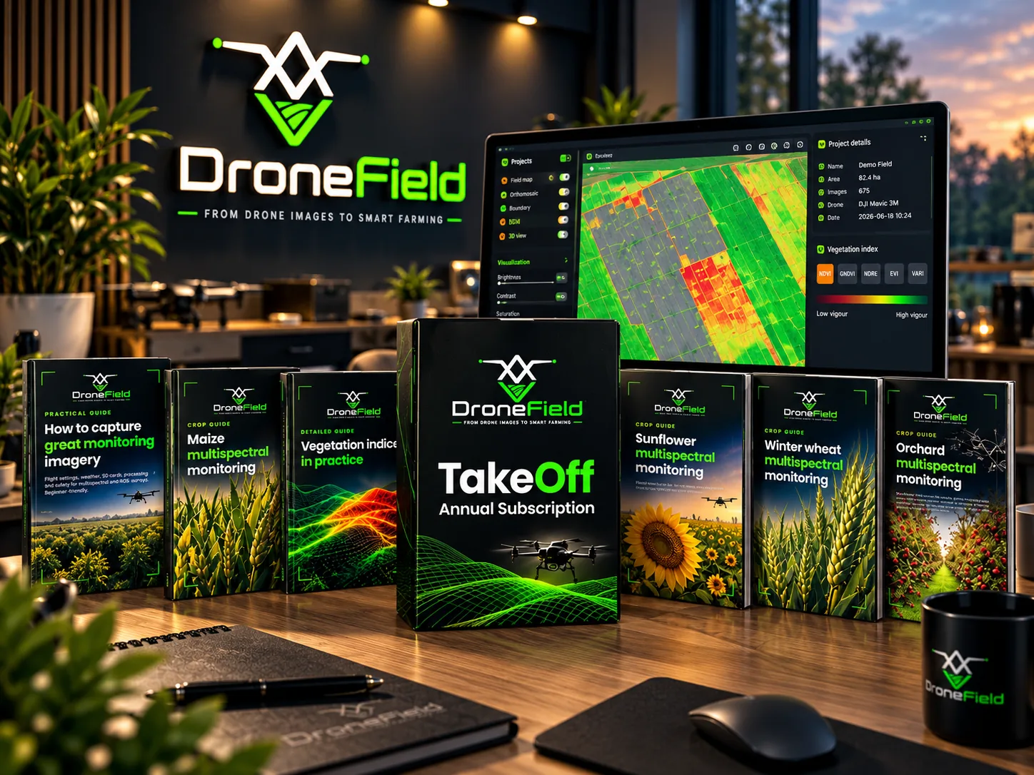
The library
-
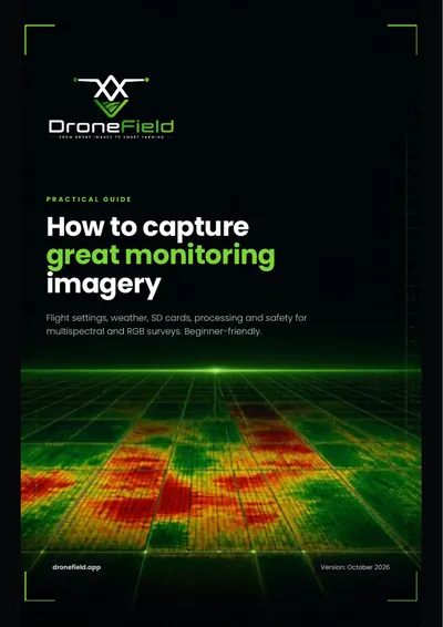 Free Practical guide How to capture great monitoring imagery
For beginners. Flight settings (AGL height, overlap, speed), weather and sun angle, SD cards and image transfer, processing in DroneField and a pre-flight checklist. For multispectral and RGB surveys.
-
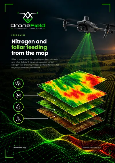 Free Practical guide Nitrogen and foliar feeding from the map
What a multispectral map tells you about nutrient supply — and what it does not. The role and deficiency symptoms of 12 macro- and micronutrients, targeted plant and soil sampling by zone, zoned nitrogen top-dressing, foliar feeding principles, a mixing test and a checklist. No doses or product names.
-
 Subscription Detailed guide Vegetation indices in practice
How light becomes a number: RGB and multispectral cameras, reflectance. NDVI, GNDVI, NDRE, EVI and VARI — which one to use and when. Phenology, index choice by crop, reading the map, DroneField presets, and how an index becomes a variable-rate plan. With glossary.
-
 Subscription Crop guide Maize multispectral monitoring
Growth stages and flight calendar, plant counting, zoning nitrogen top-dressing and weed patches, damage and disease patterns, index selection, variable-rate application and the most common mistakes.
-
 Subscription Crop guide Winter wheat multispectral monitoring
Growth stages, overwintering assessment, zoning nitrogen top-dressing and fungicide applications, NDRE around heading, and planning the harvest order.
-
 Subscription Crop guide Sunflower multispectral monitoring
Plant counting, fungicide zoning, hail damage assessment, why the head misleads the index at flowering, and timing desiccation.
-
 Subscription Crop guide Soybean multispectral monitoring
With a South American (Brazil, Argentina) focus and Hungarian notes marked separately. Growth stages, plant stand, weed patches (including Canada thistle), disease and pest patterns, desiccation and variable-rate application.
-
 Subscription Crop guide Orchard multispectral monitoring
Per-tree evaluation, row masking, missing-tree inventory, vigour trend, irrigation sectors and picking order. Apple, pear and stone fruit.
-
 Subscription Crop guide Vineyard multispectral monitoring
Canopy-masked maps, inter-row masking, missing-vine list, vigour zones, selective harvest, esca-suspect vines and the recommended flight height.
-
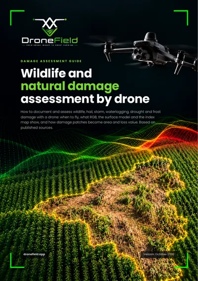 Subscription Assessment guide Wildlife and natural damage assessment by drone
Documenting wildlife damage (wild boar, deer, roe deer) and natural damage (hail, drought, storm, waterlogging): flight planning, control areas, delineating the damaged area, plant-count-based yield loss estimate, a printable assessment sheet and checklist.
专为喷洒工作流打造
只需几分钟,而非数小时
导入无人机影像,单次操作即可生成可直接用于喷洒的方案。 无需复杂的多步骤流程。
导出至任意喷洒无人机
一键导出至 DJI Agras、XAG 和 ABZ Innovation 无人机、ISOXML 终端及 Hardi 喷雾机。
包含作业方案
一键生成 PDF 测绘报告,包含安全区域、地图和施药方案——可提交给主管部门或用于内部存档。
跨季节复用田间数据
保存田块边界、障碍物及禁喷区域。 支持从 KML 导入或复用历史项目数据。
共享
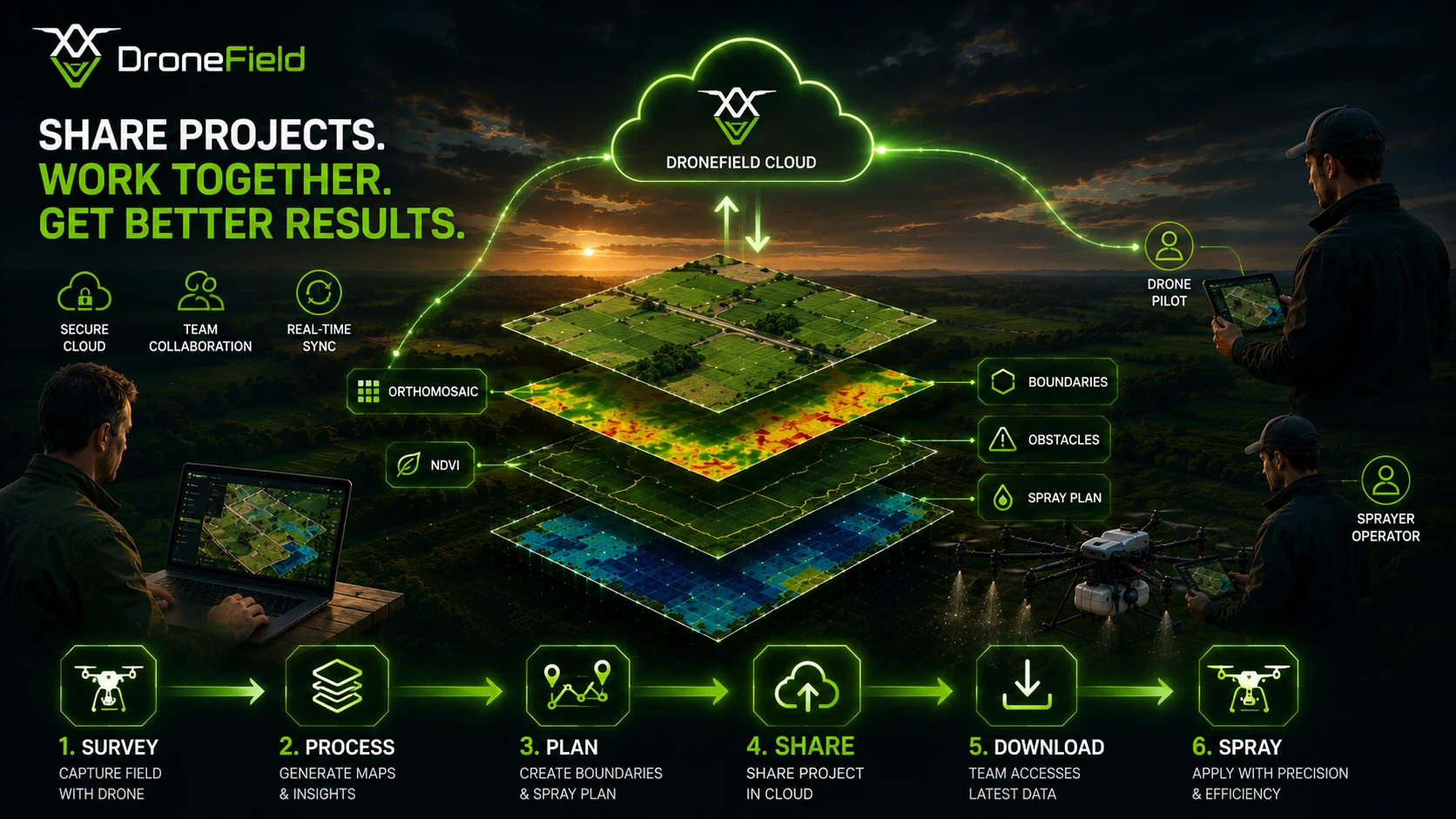
与任何人共享正射影像、施药图和飞行计划 — 详情请参阅项目共享。
3D 正射
以 3D 方式查看正射影像,选择最佳起飞点,避免飞行中信号丢失。
通过一个免费项目体验DroneField。
从测绘到喷洒
专为农业无人机作业设计的简易工作流。
田间测绘
分析植被
制定喷洒方案
导出并执行
专为精准农业打造
涵盖从无人机飞行到田间行动所需的全部作物分析工具。
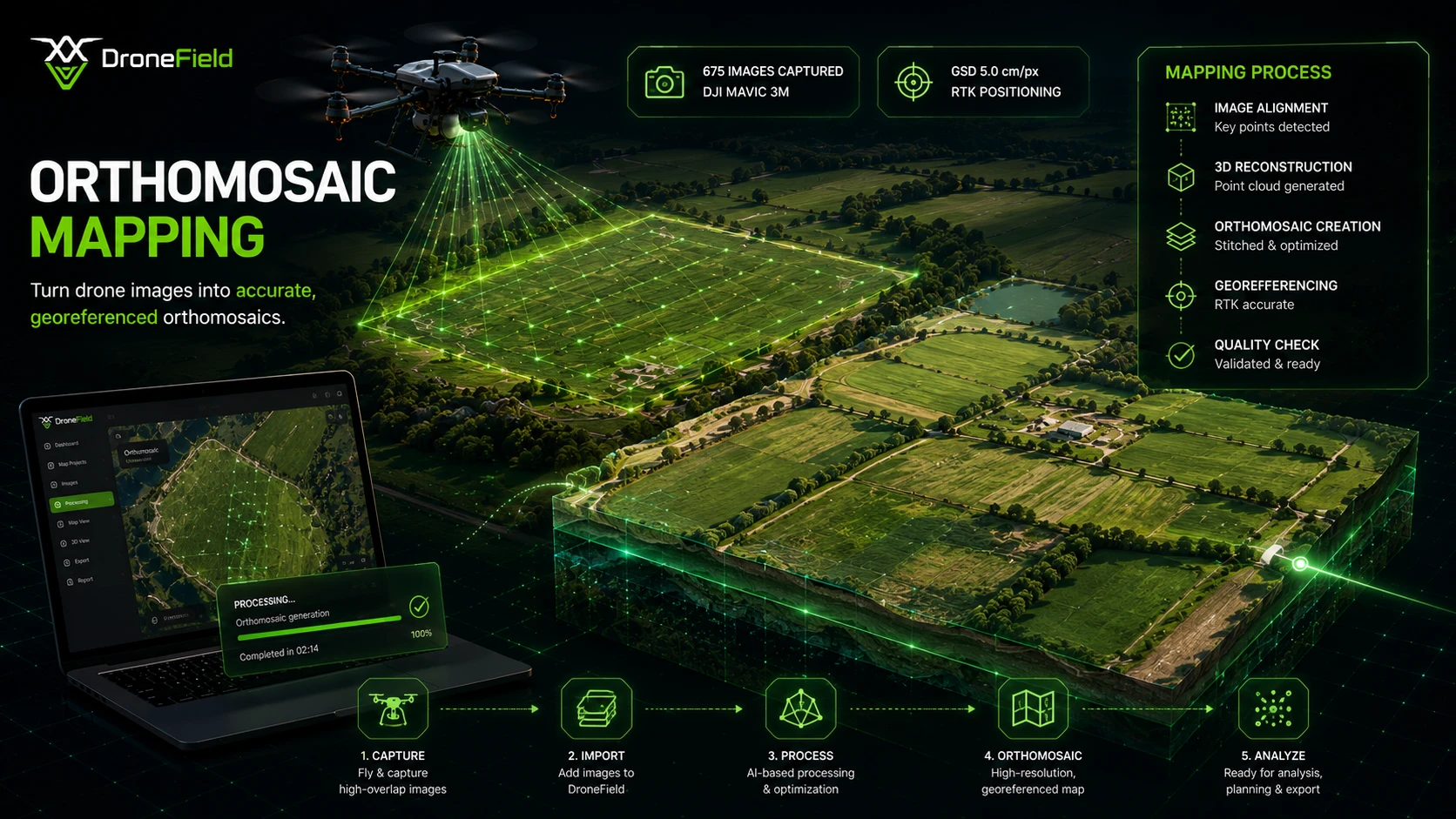
无人机照片转正射镶嵌图
将无人机影像拼接为一张高分辨率、带地理参考的田间地图——直接在您的电脑上本地处理,无需上传,无需排队。
- 地面分辨率最高可达 2 cm/px
- 精准的地理参考与投影
- 大面积田块的无缝覆盖
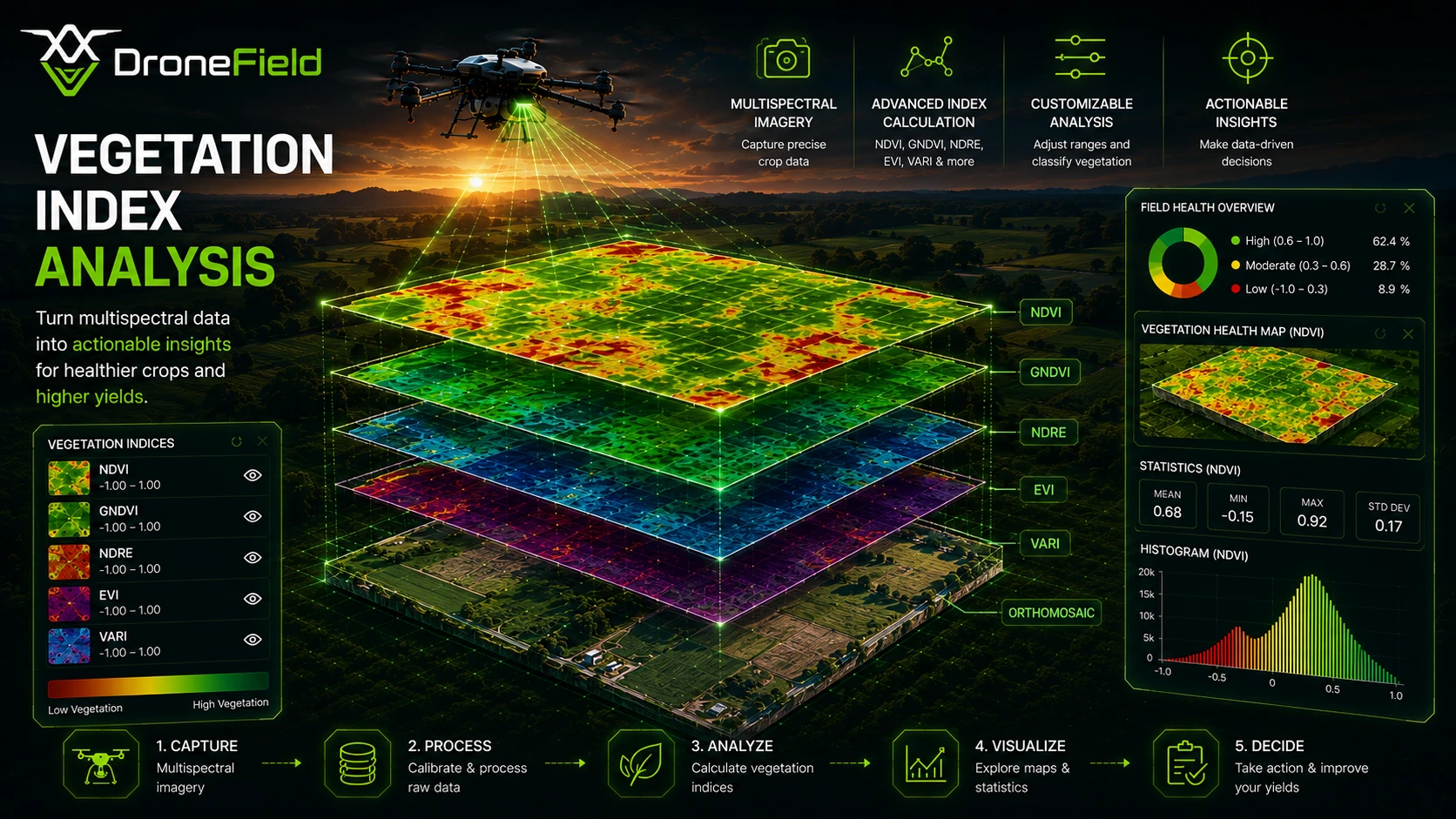
植被指数——多光谱与 RGB
借助八种植被指数分析作物健康状况:多光谱无人机可计算 NDVI、GNDVI、NDRE 和 EVI,任意 RGB 相机均可计算 VARI、VDVI、NGRDI 和 ExG——无需多光谱传感器。了解 RGB 植被指数的工作原理。
- 多光谱无人机:NDVI、GNDVI、NDRE、EVI 和 VARI
- 任意 RGB 无人机:VARI、VDVI、NGRDI 和 ExG
- 固定色阶,便于跨田块、跨日期对比
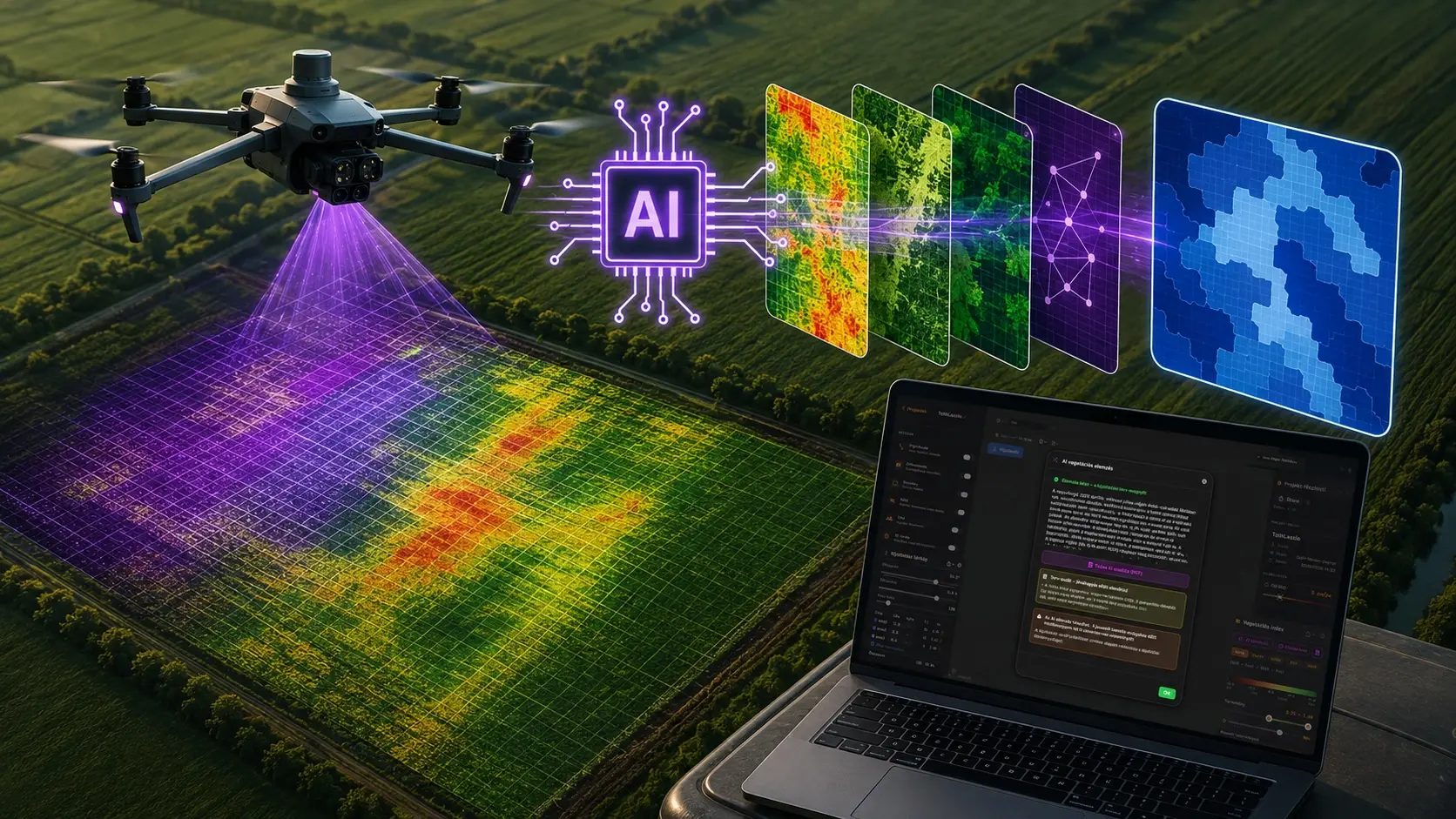
AI植被指数分析
一键即可将多光谱测绘数据转化为施药方案草案:Luna AI 助手自动选择合适的植被指数,按平均指数或活株占比对田块分区,建议施用量并解释其判断依据。仅发送统计数据——绝不上传您的影像。了解 AI 分析的工作原理。
- 数分钟内完成指数选择、分区与剂量建议
- 附农学解释与可分享的PDF报告
- 专家审批内置于工作流程
可变施药方案
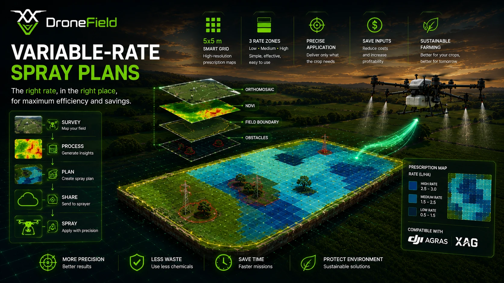
将任意植被指数转化为与喷幅匹配的网格化施药图,编辑分区和施用量时实时显示总量。
- 按平均指数或活株占比分区
- 边缘缓冲区,确保无人机覆盖田块边缘
- 施用量以 l/ha 或 kg/ha 设定,按分区显示总量
导出与工作流集成
DroneField 为您正在使用的植保无人机或拖拉机终端生成可直接作业的处方图和田块边界——直接传输到无人机,或拷贝到 U 盘。
- DJI Agras、XAG 和 ABZ Innovation 处方图
- 面向拖拉机的 ISOXML V3/V4 和 Hardi VRA Shapefile
- 面向 GIS 的 GeoTIFF、Shapefile 和 KML
支持的施药地图格式
这使得从无人机影像分析到精准田间施作的过渡更加顺畅。
DroneField 的应用场景
从无人机测绘到精准喷洒的完整工作流。
从勘测到喷洒的简易工作流
通过清晰实用的工作流处理无人机勘测图像并生成精准喷洒方案。
几分钟内创建优化喷洒方案
基于植被分析生成定向施药区域。
兼容主流喷洒系统
可导出适用于 DJI Agras、XAG、ABZ Innovation 及 ISOBUS 兼容设备的喷洒方案。
导出格式
以标准农业格式导出——KML、Shapefile、ISOXML V3/V4、GeoTIFF 和 Hardi VRA Shapefile。
导入田块边界
从 KML 和 Shapefile 导入现有田块边界。无需重新绘制边界,即可复用先前测绘的田块。
自动植被分析
植被指数和 Luna AI 分区可突出显示受胁迫区域、杂草斑块和裸露土壤——无需 GIS 专业知识。
地形理解
根据无人机测绘影像生成地形和高程模型。
田块高程图
利用生成的高程图可视化田块内的高程差异。
支持安全无人机作业
田间结构、地形高程及作业数据可帮助飞行员规划更安全的喷洒任务。
一键生成测绘报告
生成包含安全区域、正射镶嵌图、DSM、植被指数、田块边界和施药方案的 PDF 测绘报告——可直接交付或存档。
田间隐藏信息
发现传统地面检查无法察觉的重要田间信息。
云端项目共享
通过我们的云端共享正射影像、施药图和飞行计划 — 飞手可直接下载共享项目。
3D 地图
在 3D 中查看全部地形,选择理想起飞点以避免信号丢失。
RGB 植被指数
没有多光谱相机?VARI、VDVI、NGRDI 和 ExG 让任何受支持的 RGB 无人机都能进行作物分析,并生成施药图。
AI 田块边界
在田块内点击一下,设备端 AI 即可自动勾勒边界——离线运行、可编辑、可直接导出。
基于真实的农业无人机经验打造
已测绘和喷洒的公顷数
农业无人机运营年限
专为精准喷洒工作流打造
DroneField适合哪些人群?
农户
利用无人机影像监测作物,及早发现问题。
无人机操作员
将无人机测绘数据转化为专业的农业地图。
农艺师
分析植被状况并制定精准的处理方案。
简单定价
农业无人机作业的强大工作流
DroneField
免费试用包含一个项目。
+ 10 professional handbooks and tutorial videos in the Knowledge Base
查看定价所显示的价格为净价,不包含适用的匈牙利增值税。
推荐的测绘设置
为了获得最佳的正射镶嵌图质量和准确的植被分析,我们建议使用以下飞行参数。
地面采样距离 (GSD)
5 厘米
前方重叠率
80%
侧向重叠
70%
海拔优化
ON
这些参数可确保图像对齐稳定、生成高精度正射镶嵌图以及进行可靠的植被指数分析。
无人机兼容性
推荐的无人机工作流程
经过测试的无人机工作流程
DroneField 支持 DJI 测绘无人机:Mavic 3 多光谱版和行业版、Phantom 4 多光谱版和 RTK 版、Matrice 4E/4T,以及处于测试阶段的 Matrice 5TD 和 Zenmuse P1。这些机型提供生成精确正射镶嵌图和进行植被分析所需的影像元数据。完整的支持无人机列表请参阅我们的文档。
RTK精度
为获得精确的测绘结果,强烈建议使用RTK定位。
RTK is essential for:
- 生成高精度正射镶嵌图
- 可靠的植被指数分析
- 精准的田间测量
- 精准农业工作流程
若未使用 RTK,测绘精度可能不足以支持可靠的农业分析。
支持您的平台
DroneField 支持 macOS、Windows 和 Linux — 请在您偏好的操作系统上使用。
macOS
Windows
Linux
常见问题
关于 DroneField 喷洒工作流的常见问题。
DroneField 是否支持 DJI Agras?
是的。DroneField 支持为 DJI Agras 无人机导出喷洒计划。
DroneField 是否支持 XAG 和 ISOBUS 系统?
可以。DroneField 可为 XAG 无人机、ISOXML V3/V4 终端和 Hardi 喷雾机导出喷洒方案,同样支持 DJI Agras 和 ABZ Innovation 无人机。
免费试用包含哪些内容?
免费试用包含一个项目的处理,以便您测试完整的工作流程。
我可以重复使用田块边界吗?
可以。DroneField支持从KML或Shapefile导入边界,并重复使用以往测绘的数据。
DroneField可以生成哪些类型的数据?
DroneField 可生成正射镶嵌图、多光谱与 RGB 植被指数图、AI 辅助分区、喷洒处方图、带等高线的数字表面模型、3D 地形视图以及 PDF 测绘报告。
What is in the DroneField Knowledge Base?
Ten professional handbooks on multispectral monitoring — capturing imagery, vegetation indices, crop-specific map reading for maize, winter wheat, sunflower, soybean, orchards and vineyards, nitrogen and foliar feeding, and damage assessment — plus tutorial videos. Everything is available in nine languages in the customer portal.
Are the handbooks free?
Two of them are free after registration: "How to capture great monitoring imagery" and "Nitrogen and foliar feeding from the map". The other eight handbooks are included in the DroneField subscription.
Before you leave…
Did you know variable-rate spraying can reduce pesticide use by up to 60%?
DroneField analyzes drone survey data and helps you create optimized spray plans in minutes.