DroneField™ Transformer Dronebilder til Presisjonsjordbruk Beslutninger
Fra råe luftbilde til handlingslarm feltintelligens — ortomosaikkarta, vegetasjonsanalyse og presisjonapplikasjonskartor på en integrert plattform.
Opprett kontoen din og begynn å utforske DroneField.
Betrodd av agronomer og droneoperatører i hele Europa
Purpose-Built for Spraying Workflows
Minutes, Not Hours
Import drone images and generate a spray-ready map in a single session. No complex multi-step pipelines.
Export to Any Spraying Drone
One-click export for DJI Agras, XAG, and any ISOBUS-compatible sprayer.
Operation Plan Included
Auto-generate drone operation documents with safety zones — ready for authorities or your own records.
Reuse Field Data Across Seasons
Save field boundaries, obstacles, and no-spray zones. Import from KML or reuse from previous projects.
Includes one complete project — no credit card required.
Four Steps from Flight to Spray Mission
Designed for how spraying operators actually work.
Import Drone Images
Generate Orthomosaic & NDVI
Create Variable-Rate Spray Map
Export Mission & Operation Plan
Bygget for Presisjonsjordbruk
Hvert dronekasvanalyseverktøy du trenger for å gå fra droneflyging til felthandling.
Ortomosaikkgenerering
Sy sammen hundrevis av overlappende dronebilder til ett enkelt, georeferansert, høyoppløselig ortomosaikkart av hele feltet.
- Bakkeoppløsning under centimeter
- Nøyaktig georeferansering og projeksjon
- Sømløs dekning av store feltområder
NDVI og Vegetasjonsindeks Analyse
Beregn NDVI, EVI, VARI og andre vegetasjonsindekser for å avsløre avlingshelsemønstre usynlige for det menneskelige øyet.
- Multi-indeks støtte (NDVI, EVI, VARI)
- Sone-nivå helseklassifisering
- Tidsmessig sammenligning over vekstfaser
Variable Hastighets Applikasjonskartor
Generer foreskriftskarta for variabel hastighets frøing, gjødsling og avlingsvern basert på dronevegetasjonsanalysdata.
- Inndataoptimalisering reduserer kostnader
- Sonbaserte behandlingsforskrifter
- Kompatibel med presisjonsapplikasjonsutstyr
Fullstendig prosesseringsflyt
Se hvordan en komplett droneoppmåling prosesseres — fra rå bilder til ferdig sprøyteplan.
- Ende-til-ende prosesseringspipeline
- Fra rå bilder til brukbare resultater
- Komplett arbeidsflyt i én applikasjon
What You Can Do with DroneField
A complete workflow from drone survey to precision spraying.
Simple workflow from survey to spraying
Process drone survey images and create spray missions in a clear and simple workflow designed for agricultural drone pilots.
Create optimized spray plans in minutes
Generate precision spraying zones quickly using NDVI analysis and grid-based prescription maps.
Supported spraying platforms
Export spraying maps for major agricultural drone and machinery platforms. Supported systems: DJI Agras, XAG, and ISOBUS compatible equipment.
Export formats
Export your prescription maps in widely used agricultural formats. Supported exports: KML, Shapefile, and ISOXML.
Import field boundaries
Import existing field boundaries and data directly from KML and Shapefile. Reuse data from previous surveys without redrawing fields.
Predefined NDVI analysis
Identify stressed or weed-affected vegetation areas using predefined NDVI analysis profiles designed for agricultural drone surveys.
3D terrain model
Generate a terrain model from drone survey data to better understand elevation changes across your field.
Field elevation map
Visualize elevation differences across the field with a generated height map.
Flight safety information
Get important flight safety information based on the surveyed field and terrain conditions.
Automatic flight log records
Generate mission documentation and flight log records automatically from your survey data.
Hidden field insights
Discover valuable information about your fields that is not visible during normal field inspection.
Designet for profesjonelle droneoperatører
Presis luftdataprosessering laget for virkelige sprøyte- og kartleggingsarbeidsflyter i landbruket.
Begynn å prosessere dronedataene dineBuilt from Real Agricultural Drone Experience
hectares mapped and sprayed
years in agricultural drone operations
built for spraying workflows
Hvem er DroneField for?
Bønder
Overvåk avlingene, oppdag stress i tide og bruk innsatsmidler bare der de teller.
Droneoperatører
Gjør droneoppmålinger til profesjonelle landbrukskart, klare til levering til kunden.
Agronomer
Identifiser driftssoner og lag datadrevne behandlingsplaner.
Simple Pricing
One powerful workflow for agricultural drone operations.
DroneField
Free trial includes one project.
See PricingEarly adopters can renew at the same 512 € yearly price.
The displayed prices are net prices and do not include the applicable Hungarian Value Added Tax.
Anbefalte Undersøkelsesinnstillinger
For optimal ortomosaikkvalitet og nøyaktig vegetasjonsanalyse anbefaler vi følgende flyveparametere.
Ground Sampling Distance (GSD)
5 cm
Front Overlapp
80%
Side Overlapp
70%
Høyde Optimalisering
ON
Disse parametrene sikrer stabil bilderesolvering, høypresisjon ortomosaikkgenerering og pålitelig vegetasjonsindeks analyse.
Dronekompatibilitet
Anbefalt Dronearbeidsflyt
Testede Dronearbeidsflyter
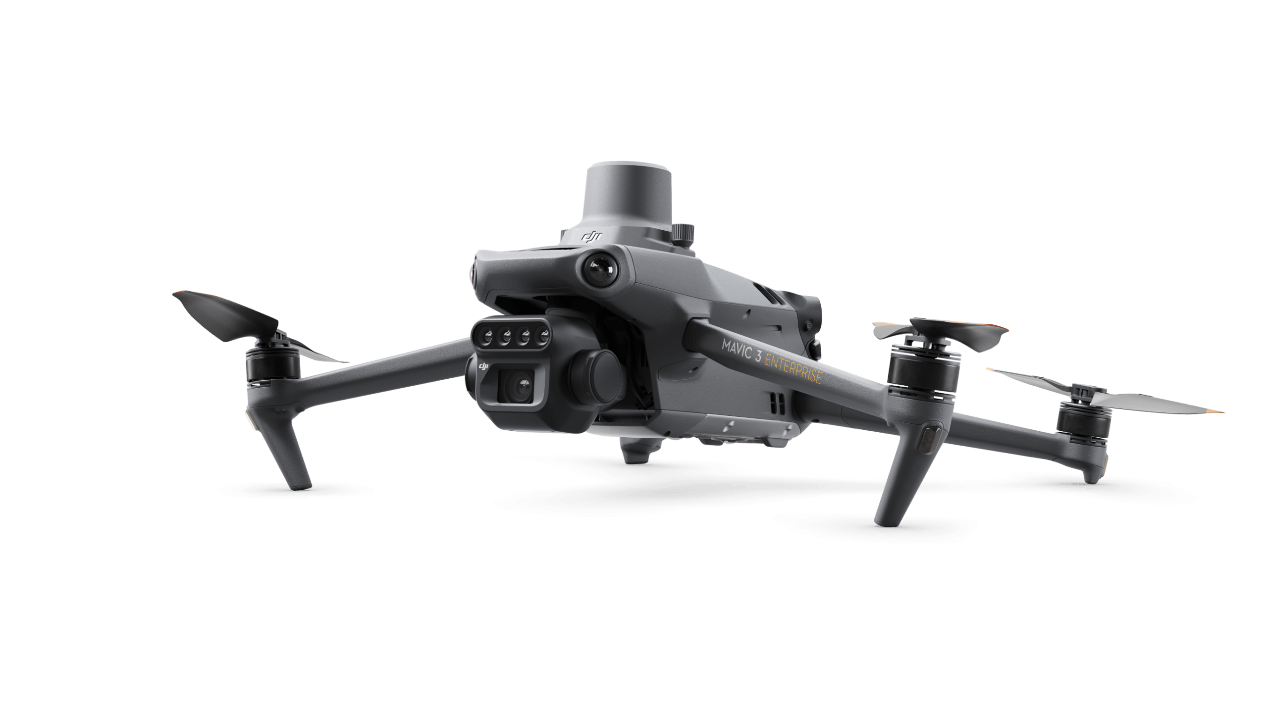
DroneField har blitt testet med profesjonelle droneundersøkelsesarbeidsflyter ved bruk av DJI Mavic 3 og DJI Phantom 4 plattformer, som gir stabil bildenede og pålitelige metadata for ortomosaikkbehandling og vegetasjonsanalyse.
RTK Nøyaktighet
For nøyaktige undersøkelsesresultater anbefales RTK-posisjonering sterkt.
RTK is essential for:
- Høypresisjon ortomosaikkgenerering
- Pålitelig vegetasjonsindeks analyse
- Nøyaktige feltmålinger
- Presisjonsjordbruksarbeidsflyter
Uten RTK, kan kartleggingspresisjonen være utilstrekkelig for pålitelig jordbruksanalyse.
Tilgjengelig på din plattform
DroneField kjører på macOS, Windows og Linux — bruk det på operativsystemet du foretrekker.
macOS
Windows
Linux
Frequently Asked Questions
Common questions about DroneField for spraying workflows.
Does DroneField support DJI Agras T-series?
Yes. DroneField exports spray maps directly in DJI Agras format. Upload the mission file and fly.
What about XAG and ISOBUS sprayers?
DroneField exports to XAG format and generates ISOBUS-compatible files for any standard sprayer.
What exactly is included in the free trial?
One complete project from start to finish: import drone images, generate orthomosaic and NDVI, create a spray map, and export the mission file. No credit card needed.
Can I reuse field data across seasons?
Yes. Save your field boundaries, obstacles, and no-spray zones once, then reuse them in future projects or import from KML files.
Does DroneField generate operation documents?
Yes. DroneField auto-generates drone operation plans including safety zone information — ready for regulatory submission or your own records.
From Drone Images to Spray Missions
Try the complete workflow with one free project. See how fast it can be.
Start Free TrialNo credit card required • One complete project included
Before you leave…
Did you know variable-rate spraying can reduce pesticide use by up to 60%?
DroneField analyzes drone survey data and helps you create optimized spray plans in minutes.